In the last post I mentioned that I’m returning to Iceland as the ‘reward’ for learning to dive. Of course there’s no point in travelling to what is a photographic dream of a country and not spending a bit of time exploring, especially as I have seen so little of it, and so the past few weeks have seen me spending hours hunched over maps and making good use of Google and the Trip Advisor Iceland forum. And finally I have what I believe to be a workable outline for the 14 day trip.
The trip in 2014 concentrated on a section of the southern coast between the Reykjanes peninsula and Jokulsarlon. Despite being such a small section of the country there is an incredible amount to see – a testament to how much Iceland has to offer – and I left feeling that I had spent my time well and not regretting the decision to limit myself.
Much like the trip in 2014, for this trip I’ve picked just three bases to work from in the centre and west of the country: Thingvellir National Park, Kerlingarfjoll and Grundarfjordur.
As good as Google Maps is, I recommend that you invest in the Ferdakort 1:250,000 touring map for the area that you are visiting. They’re clear, detailed and full of highly useful information such as locations of petrol stations, camping sites, accommodation and, for those venturing onto the highland roads, where you will have to drive through rivers. For my 2015 trip I only need to take Map 2, covering the south west. They are perfect for driving but if you’re considering hiking, you may want to invest in some higher scale maps, such as the Serkort 1:50,000 maps.
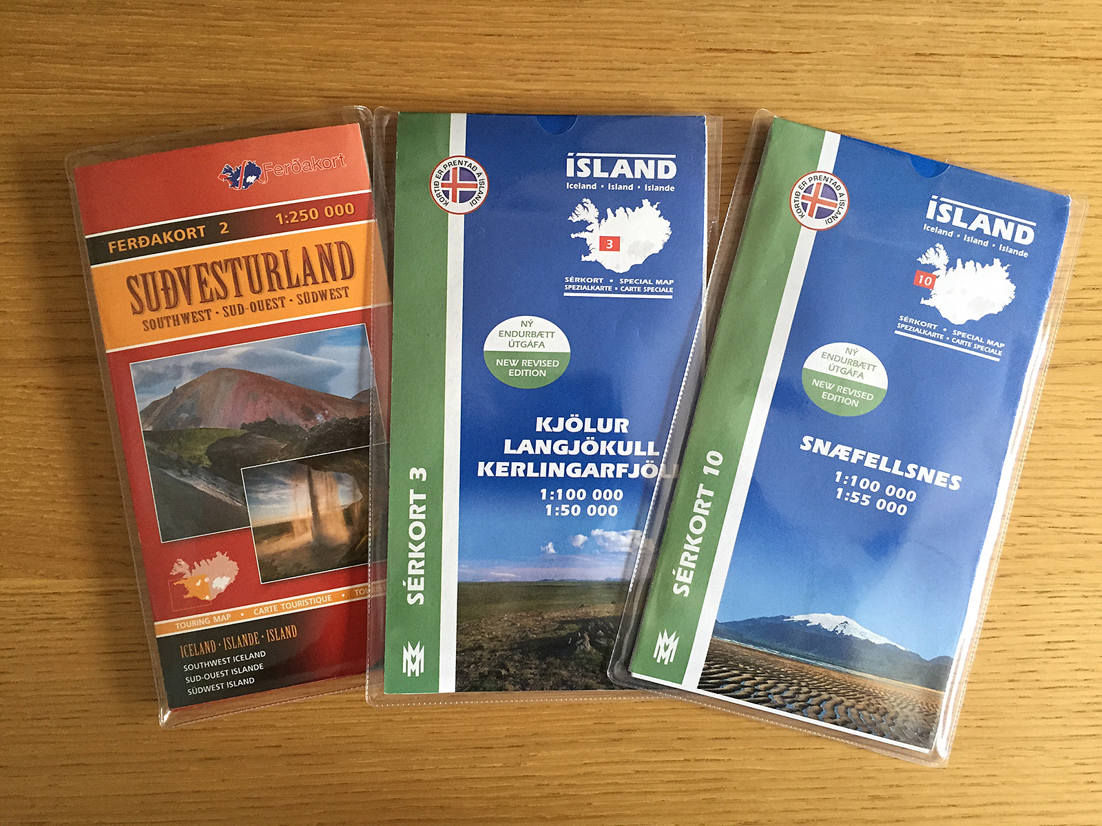
A good map can make all the difference when on a self-drive or hiking trip.
Thingvellir
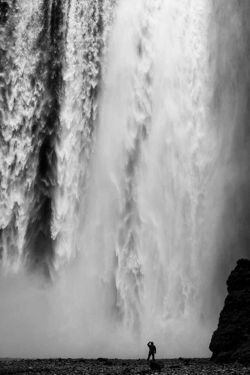
Arriving on the evening of day 1, the first base is just south of Thingvellir National Park. Thingvellir is a popular tourist stop for its historical and geological significance although for me it is the latter that draws me there. Whilst the immense North American and Eurasian tectonic plates are separating along their entire length at a rate of approx. 2cm per year, only in Iceland can you see the result of this on land. In dramatic terms, Iceland is literally being torn, very slowly, in half although it would be more accurate to say that, due to the resulting magma rising up to fill the void, Iceland is very slowly getting bigger. Whilst most visitors view the geologic transformation from above, it is here that you find Silfra, a lake formed by glacial runoff filtered through volcanic rock. The resulting waters are crystal clear and said to offer some of the best diving visibility on the planet. It is also jolly cold.
Being under no illusions as to my lack of underwater skill I have allowed for two days diving, each day consisting of a morning and afternoon dive. I’ve also left a spare day just in case I need it. I’ve checked and they dive even if there is only a single participant although I hope I’m not the only one as a lot of the shots I have in my head require more people.
The remaining day – or two if a third day of diving is not needed – is spent visiting Gulfoss and Geysir and the national park itself. I’m not planning on spending too much time at these two sites as they are very touristy and anyway, you don’t go to visit Geysir but rather its little brother Strokkur – Geysir rarely erupts these days but Strokkur repeats approximately every six minutes.
The second half of day 5 has been reserved for one of the sights worth visiting although it has turned into something akin to my own Moby Dick: Bruarfoss, a picturesque waterfall with wonderfully vivid blue waters. However, the more I read about this waterfall the more I become confused as to whether it is easily accessible or not. After three evenings of reading trip reviews, blogs and going over Google Maps inch-by-inch I’ve ended up with a definite “maybe”.
The issue isn’t its location – it is on the map and I have GPS co-ordinates – the issue is how to get there. From what I have been able to piece together it is behind a summer home area with three access roads. Two of these have already had barrier access erected and the third is an unknown. The next issue that reports from those who have been there recently suggest that you then have to pass through a hole in a fence which may, or may not, still be there when I arrive. However I have a plan B that entails parking along route 35 at a safe place and hiking for about 90 minutes along the Bruar river. I’d prefer to get the car as close as possible as I’m after dusk shots and so the thought of hiking back along the river in pitch black isn’t enticing. Last time I was in a similar situation was on the Falkland Islands and the only person at Cape Pembroke. There were only three kilometres between me and any form of civilisation but it was all marshland and I discovered the hard way that hiking on boggy ground in the dark not only wasn’t fun, it bordered on dangerous. I want to avoid the same in Iceland if I can…
![As pretty as Cape Pembroke was at sunset, hiking back wasn’t a fun experience. [Click to enlarge!]](http://davehoggan.com/wp-content/uploads/2015/05/2010-FAL-440.jpg)
As pretty as Cape Pembroke was at sunset, hiking back wasn’t a fun experience. [Click to enlarge!]
The Highlands and Kerlingarfjoll
On day six I head out from Thingvellir and head north into the highlands. I’ve left a whole day travel time to get to the hot spring at Hveravellir, in part because I know that I’ll be stopping every so often to marvel at some new landscape, but also because most of the journey is on route F35, a notorious, pothole-filled highland road. Accommodation is (hopefully) at the hot-springs although they haven’t confirmed yet. Well, they had confirmed but it went into my SPAM folder and so I only found it a week later. So I have confirmed their confirmation, but I may be too late. But if there are problems I am not really too worried as it is only for a single night and so if the worst happens I can simply sleep in the 4WD. In some ways I’m hoping they don’t confirm as it adds to the adventure. Ah, well its time to live up to my words: They don’t have a room anymore for that evening so it looks like sleeping in the 4WD is the plan! I’m pretty sure that the back seats fold down flat and I will have a sleeping mat and sleeping bag. The Alpkit sleeping bag is a serious bit of kit which I really want to try ‘in-the-field’, and throw in a couple of beers, pasta cooked the night before and I’ll not only be OK, I’ll have a ball!
![Much of the day will be spent on the highland road F35 - not something you would want to attempt without a 4WD. [Click to enlarge!]](http://davehoggan.com/wp-content/uploads/2015/05/Thingvellir-Hveravellir-1600px.jpg)
Much of the day will be spent on the highland road F35 – not something you would want to attempt without a 4WD. [Click to enlarge!]
Kerlingarfjoll offers some stunning landscapes; the lights hues of the rhyolite mountains sandwiched between two vast glacial caps. Peppered around the area are hot springs and fumaroles. There are a number of marked hiking paths in the area of differing lengths and difficulties and with two days to explore I’m going to get see a fair bit. The only thing to watch – as is always the case in Iceland, but particularly in the highlands – is the weather. It can turn from sun to blizzard in a very short period of time.
It is also in Kerlingarfjoll I get to try the Serkort 1:50,000 scale maps. A scale of 1:250,000 is perfect for driving – and you’d have to prise the Ferdakort out of my cold, dead, hands – but for hiking I wanted a lot more detail. Ferdakort do have higher scale maps, but not that I could find in the UK so the Serkort maps are about to get chance.
On day 10, I have a full day of travel as I travel back south along the F35 again before turning west and out to the Snaefellsnes peninsula. The original plan was to turn on to the F338 as this is what Google Maps’ directions option suggested. But while examining both the Ferdakort and Serkort maps I noticed a discrepancy: On the Ferdakort map it lists both the F35 and F338 as gravel roads, but on the Serkort it lists the F338 as a track. A small difference but one that had me asking about the F338 on the Trip Advisor Iceland forum. And, just as well I did as the F338 is apparently a power line service track and one that not only passes through several rivers but it may already be impassable in early September! So, as good as Google is, always double-check your sources!
Luckily with the entire day set aside for travel the error has not put me in a difficult situation and is another reason that travelling in Iceland is best done with plenty of ‘slack’. In this case allowing a whole day for travel had meant the new, significantly longer, path F35 – 37 – 365 – 36 – 48 – 47 not only doesn’t cause a problem it allows me to travel the coastal road around Hvalfjordur and see the fjords there. The real delay will be the innumerable stops I’ll be making.
![Google Maps chose the blue line as the 'best' route between Kerlingarfjoll and Grundarfjordur, but best for whom? Reseach and local knowledge suggests the longer, but safer route in blue/white. [Click to enlarge!]](http://davehoggan.com/wp-content/uploads/2015/05/Kerlingarfjoll-Grundarfjordur-Routes-1600px.jpg)
Google Maps chose the shorter blue line as the ‘best’ route between Kerlingarfjoll and Grundarfjordur, but best for whom? Research and local knowledge suggests the longer, but safer, route in blue/white. [Click to enlarge!]
From day 11 I’m at my final base of the trip, Grundarfjordur, a small town conveniently located halfway along the peninsula’s northern coastline where I have easy access to many of the locations I want to visit. The Snaefellsnes peninsula is often said to have some of the best landscapes Iceland has to offer including the distinctive Kirkjufell mountain and the Snaefellsjokull glacier made famous by Jules Verne’s Journey to the Centre of the Earth.
Again I’m hoping that the 1:25,000 Serkort maps prove their worth as a lot of the trip here is on foot along the countless hiking paths that criss-cross the peninsula.
The day-to-day plans are much more loosely defined at this point and the only reason that I’ve been so specific for the first two-thirds of the trip is necessity – rapid changes in accommodation and trying to be in places at specific time dictating the schedule. Once on Snaefellsnes I can relax a bit more.
The trip ends on day with a leisurely drive back to Keflavik airport for a late afternoon flight. Even if I err on the side of caution and allow four hours for the journey that still leaves me half the morning to sort out any last minute shots.
![Snaefellsnes may be a relatively small peninsula but it offers a wide range of landscapes to photograph. I struggled to limit myself to the dozen points of interest above. [Click to enlarge!]](http://davehoggan.com/wp-content/uploads/2015/05/Snaefellsnes-POI-1600px.jpg)
Snaefellsnes may be a relatively small peninsula but it offers a wide range of landscapes to photograph. I struggled to limit myself to the dozen points of interest above. [Click to enlarge!]
Planning a photographic trip takes a lot more effort than normal – in large part because everything is so time-dependent. But after a few weeks of planning and a few major changes to the schedule I’m now happy that I have a workable itinerary. I’m confident in the time I have allowed at various places and also in knowing what to expect when travelling (no dubious power line tracks, for example). Importantly I also know where and when to stock up on food and fuel. All I need now is to turn up. Oh, and learn to dive…


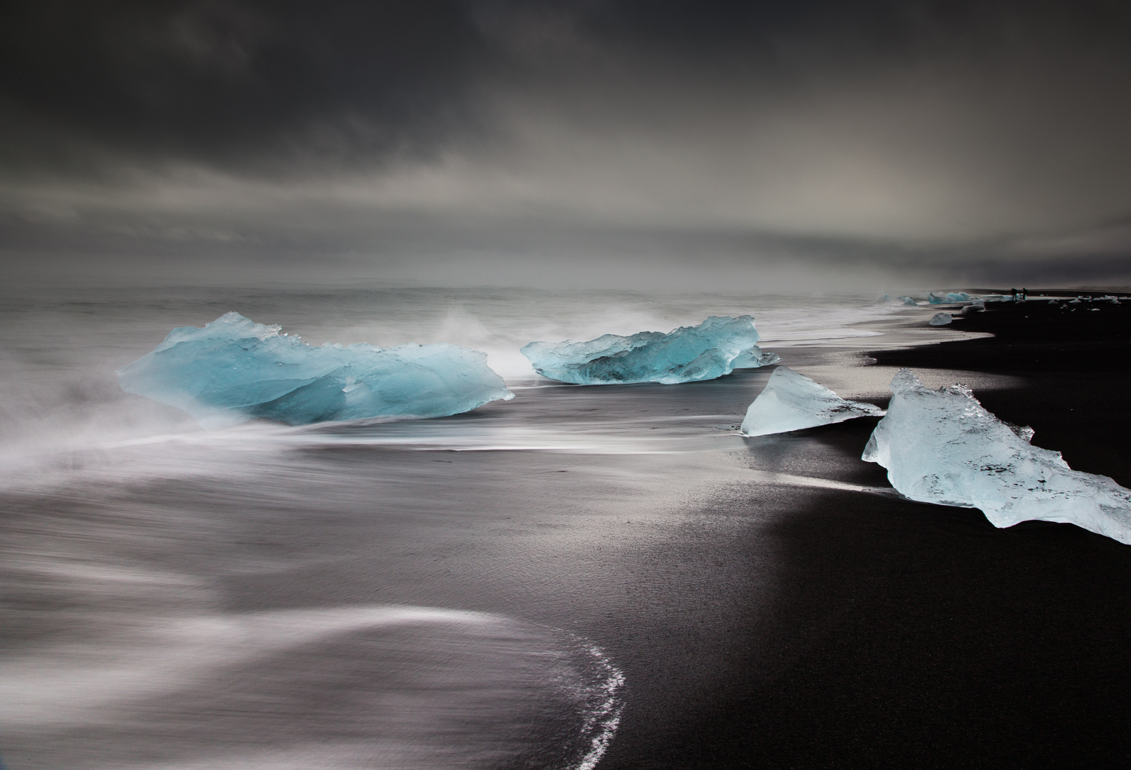
![Same image, but a different feel. [Click to enlarge!]](http://davehoggan.com/wp-content/uploads/2015/04/jokulsarlon_wallpaper.jpg)